The Path starts on the outskirts of Bangor at Port Penrhyn, at the mouth of the river Cegin. Port Penrhyn was where slates were exported from Bethesda all over the world in the heyday of slate quarrying. The first few miles of the walk will follow the influence of the Penrhyn family, who owned the quarries and estate, expropriating most of its value, and who built
Penrhyn Castle around whose estate the walk skirts. Like many old ports, traffic at Port Penrhyn is now mainly for leisure, although there is also a thriving mussel fishery here, and piles of sand at the quayside are brought in from
Traeth Lafan sandbanks by dredgers.
(Getting to Port Penrhyn from the station requires a walk down Bangor's High Street, reputedly the longest in Britain, adding about a mile and a half.)

The walk begins through a railway arch under the road to Penrhyn estate on
Lon Las Ogwen, a cycle track which follows the line of old quarry railways up the Cegin valley. There were two (at least) lines this way, the older narrow gauge track, and a later standard gauge line connected to the national network. At first, the track is in the bed of the standard gauge line, but the remnants of its predecessor are to been seen alongside (picture).
After ducking under the A5 at
Pont y Marchogion (Knights' Bridge), the path of the standard gauge line is seen to fork off to the left where ultimately it was to join the main line, while the cycle track follows
Y Lein Fach alongside the river. As we pass the bottom of the Llandygai Industrial Estate on the left, there is a crossing of the river at Bishop's Mill. No mill here now, but if there was one, the Bishop of Bangor would probably still have the right to run it. It may be here that the poet Dafydd Ddu Eryri was drowned in 1822.
I found this stretch of cycle track quite busy this early morning, with cyclers and dogwalkers, in contrast to later parts of the walk.
After passing under Stephenson's viaduct of Old Red Sandstone, which carries the main railway line, the cycle track goes through a brick-lined arch under a minor road. The cycle track continues to Bethesda, while the North Wales Path leaves to join the minor road, doing what is ultimately a left turn. But first it is worth a quick look at the river crossing, which for vehicles is a ford.
Turning our backs on the ford, we continue along the minor road until the pavilion of Bangor Cricket Club comes into view on the left, and a clump of trees to the right of the road. Just before this covert, there is a kissing gate which takes us rightwrds in to a path at the edge of a field which now contains a newly-developing (but still empty) industrial estate. At the time of my visit the public footpath signs here were broken and there was no sign of a North Wales Path sign which generally marks this entire route - but this is the way.

Passing round the trees, the path passes a turreted tower to the left, the smoke stack for the Llandygai tunnel of the railway. There are identical stacks in the St. Deiniol Golf Club on Bangor mountain, above the Bangor tunnel, and at the back of Coleg Menai's Friars building above the Belmont tunnel. For this path, it marks the watershed between Cegin and Ogwen valleys. The path crosses the A5 again here and very quickly arrives down at the former line of the A5, the road built by Thomas Telford around 1820, close to an old smithy (pictured).
Now there's some ambiguity here about which way the North Wales Path should go. My Ordnance Survey map shows it following the old roads including the 'Everlasting Bend' round the village of Llandygai, and the signpost near to the smithy did suggest I went that way. That's a crazy way to go, walking along an unpavemented road without much visibility, when there are nicer alternatives.
The way I chose to go I used to know as continuing the path of
Llwybr Ugain Munud (Twenty-Minute Walk) a circular walk around the village of Llandygai. This is also the route shown on the
Long Distance Walkers' Association map. I crossed over the old road at the smithy, went down the slate steps opposite to join a track past Penlon Mill Cottage, where the old mill buildings are being exposed to view. Here the railway comes out of the tunnel, and the path after the mill dives to the left under the railway, to pass terraced cottages of Pentrefelin before joining the old main road again just below Llandygai village.

(There's another alternative route as well if, instead of turning right before the trees at the point where the signs were broken, I had carried straight on towards Llandygai village. This is a 'model village' built in the 1840s to house Penrhyn estate workers in a picturesque style. The church is worth a visit if open, if only for the monument to the first Lord Penrhyn by Richard Westmacott. The lane between the churchyard and the school then rejoins the main road opposite the place I arrived at above.)
Back on the path, here there is an attractive (former) drinking fountain, of Penmon limestone, dedicated by Lady Dawkins Pennant (one of the Penrhyn family).
Then the Path carries on along the road, crossing the river Ogwen, turns right into the village of Tal-y-bont, passes under the railway once more, then takes first right. Passing out of the village, a right turn down a lane with grass down the middle takes us below the A55 dual carriageway towards the river.

Here I decided a minor diversion was warranted, following the public footpath to the footbridge known as Shakey Bridge. The view towards Cochwillan Mill weir here appears in a fine oil painting at Penrhyn Castle by
F. R. Lee : my photograph doesn't really compare.

Doubling back, the North Wales Path passes through the gate of a property who have made an admirable job of respecting but separating the path from their access. It climbs away from the river here along the edge of a wooded bluff, passing along the right field edge through a series of kissing gates towards Cochwillan Farm.
Cochwillan Old Hall here dates back to the fifteenth century, built by William ap Gruffydd, and was in the 1620s bought by John Williams, who was to become Archbishop of York. The building was later used as a barn but has been brought back into use as a residence in the twentieth century. Apparently it is possble to see the interior by prior appointment, which I hadn't made, so I carried on.
The North Wales Path now follows a minor road, which rises towards Llanllechid, and here I began to notice the climb. After a little dip and a bridge over a stream, a path on the left through scrub and fields takes the North Wales Path to a roughly parallel road to Llanllechid where, apparently perversely, we go left and downhill. But this is only a short way and shortly it turns right past a ruined building, across a slate slab over a stream to a field.
Now this where I went the wrong way. Going through a kissing gate to a track which skirts some woodland, I carried on to the left, going clockwise round the wood. This seemed the obvious direction at the time, but after a while of walking downhill towards a house called Tan-y-Marian, I though this didn't seem right, checked my map, realised my mistake, and doubled back. And, yes, there was a signpost to tell me which way to go but it was sort of behind me when I came up, so I didn't actually see it. Resuming the right way, I carried on anti-clockwise round the wood until the track took me to Plas-uchaf farm buildings (warning: barbed wire on gate).

The Path turns left along a road and soon forks right to continue eastwards along the brow of the hill. Leaving behind the winding climb through woods and famland, now it seems to have become what this walk is all about - a long open vista over coast and sea. I was fortunate not only in having fine warm weather, but also in the tide being in, so the views over the Menai Strait and Anglesey were at their best. I had left the road and railway behind too; after passing and repassing these, they too were now way down below and no longer noisy. Up here, though, there is one other North Wales trunk route - the humming 133kV National Grid line.

This picture shows the OS map 'homestead' at SH648717.
Later, my map still shows the wooded cross shape which once was a distinctive marker on this slope, but which were felled three years ago. The local myth that this was a memorial to a wartime air crash was
debunked by Bangor University then: it had in fact been a long-term agricultural experiment. The conifers are now gone and there is mainly bracken here now among the tree stumps, but still a pine smell lingers, even in the breeze.

With the village of Abergwyngregyn in view below, the Path now swings to the right and begins the descent into the Aber valley towards the falls - the more well-known
Rhaeadr Fawr to the left and
Rhaeadr Fach to the right. My picture doesn't do them justice because, being North-facing, they are always in the shade. I stopped for my lunch at a quiet spot by
Rhaeadr Fach. The topography and orientation of this valley is such that the brief mobile phone coverage was from the Isle of Man.
Aber Falls is always a popular spot, and in the warm weather that day, there
were many families out here. There's a pushchair/wheelchair-friendly path here
down the valley to the car parks, passing a hut circle which was being
excavated when I came this way in 2009.
The car parks for the falls (£2 in coins required) are another convenient
access point to and from the North Wales Path – but I was pressing on.
After my gentle stroll down the valley,
unfortunately this now required a long ascent. This starts off up a
narrow road, of the sort which in a car requires first gear for the steepest
bits, and an eye for passing places.
This was not a particularly comfortable walk so soon after lunch and in
the heat of the day. At the top of the road, above the treeline, there is a small parking area, enough room for half a dozen vehicles (no charge) and a good
start for walkers aiming to go higher still.
The ascent continues from here up a clear track. I took a little detour off
the path in search of
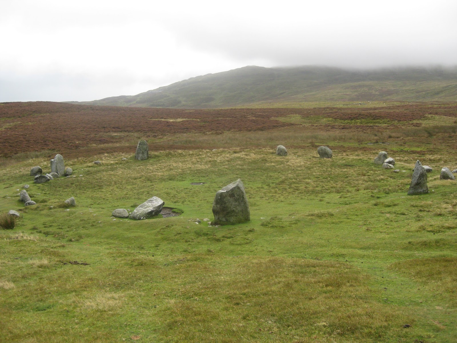
Carnedd y Saeson, a round cairn from the second
millennium BC, where apparently a cist or grave can be seen. Despite having a
sketch and map of what I was looking for, I regret I didn’t find it. One rock
looks much like another up here among the heather and gorse, and although I
thought I detected some patterns of the right shape and size, there were none
that, when I got close up, I could be sure that I was there. I will need to
come back when vegetation has died back a little (or I have more time).

Back to the Path, which now joins the line of the Roman Road from
Deva
(Chester) to
Segontium (Caernarfon). No fewer than three Roman milestones have
been found on this short stretch of road.
After climbing nearly to 400m above sea level, we come to a crossroads of
paths. Straight on continues along the Roman Road through
Bwlch y Ddeufaen
(pass of the two stones – which do indeed still mark the way) to Rowen. Turning
right takes you up the track to the summit of Drum, one of the lesser Carneddau
peaks. My route took the left turn, towards Llanfairfechan. This was a continuous descent down grassy slopes. As I went, I began to
reflect that this can’t be that easy coming up, as there is no respite from the
slope. Continuing down, and as Llanfairfechan village came into view, it became
more acute, one of those descents that punish the knees, and almost certainly
steeper on the way down than it was on the way up.
After walking over grass, the Path eventually heads down between two
dry-stone walls, joining a road at a
pink kissing gate.

This was where I left the North Wales Path to head for the railway station.
This essentially involved just heading down all the time, following steep steps
to a lower road, then down the river valley until I crossed the village
crossroads over the old A55. Heading down Station Road, under the A55 and
railway, took me to the railway station where a train wasn’t long. (This adds
about a mile and half to the distance along the North Wales Path.)
Verdict: This was a long walk for me, fifteen miles along the path and, together with the links to the begining and end, and one or two detours, I must have walked twenty. There is lot of up and down and this is one of the most strenuous parts of the North Wales Path. I was fortunate in the weather, except that the late September heatwave was a challenge to some of the uphill stretches. A good deal to see, and varied.
 Path, railway line and road are parallel for a while going towards Deganwy. I was struck by this 'White Cottage' on the road, just before where the B5115 turns off the A546, so much older than surrounding houses - maybe even 18th century? I haven't been able to find out any more about it.


 I took a small diversion off the Path, to walk up the hairpin bends of the road to the summit of the Orme. I didn't go all the way to the top, but stopped to visit St. Tudno's church. It is this church which gives Llandudno its name - in fact Llandudno was properly the name of this place, when the marsh between the Orme and the mainland was known as Morfa Rhiannedd or St. George's Bay.