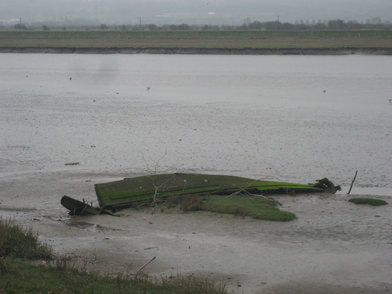
 Here at the Glan Morfa Community Woodland it is possible to turn right towards the riverside, but I didn't do that as the Path goes straight on (although once again the signs had lost their plates and I had to confirm my route from the map). After passing a caravan site on the left, the Path enters fields and also turns towards the banks of river Clwyd. This is now a tarmaced cycleway all the way to Rhuddlan (the castle can be seen in the distance straightaway), on top of recently-rebuilt flood defences. There was much birdlife to be seen along the mudflats - Shelduck and Curlews in abundance and what might have been some sort of Grebe.
 Following the Path towards Rhuddlan is simple enough; after going under the modern road flyover it comes to an older road bridge which is where it turns left into the town, just before the castle.
I took some time to look round Rhuddlan, starting first with the graveyard around St. Mary's Church, whose most striking feature is a memorial by a local sculptor Lunt, which seems later to have become his memorial, too.
 Having not actually visited Rhuddlan Castle before, I would have liked to have gone round it, but it was closed for the winter. Instead, I took a path beyond the Castle (now diverting away from the North Wales Path) to Twt Hill, the site of the earlier, eleventh century, motte. Picture shows view looking down the river from Twt Hill.
 I doubled back to rejoin the Path which follows the High Street. Here is what claims to be the Parliament Building where the Statute of Rhuddlan was made. "No foundation for the tradition and inscription", says Hubbard in The Buildings of Wales: Clwyd. The Parliament is actually for sale.
Between Rhuddlan and Dyserth, the Path makes an effort to go off-road again, but it's a bit convoluted. There were enough North Wales Path signs to give occasional reassurance that I was not lost, but not enough to have been able to navigate the path using them alone. I usually keep my OS map in the backpack to check if I'm in doubt, but this time ended up carrying it my hand to check every turn. Detailed directions follow.
Leaving Rhuddlan, the Path follows a cycle route left at a roundabout, then crosses the road down Pentre Lane to the right. Out of the residential area, just after a bridge over a stream, it leaves the lane to cross a brief field to a footbridge, and across that field eventually to rejoin the same lane (so if you missed that bit, you wouldn't go far wrong). It continues across the lane along an untarmaced access track, which eventually gets to a pretty cottage in woods ('Cottage Covert' on the map). Just before the cottage, the Path leaves the access track to skirt round the covert and in to another field, where it follows the field boundary anti-clockwise. A short way after what was the right-hand corner, there is a stile on the right, with a generic footpath sign but no North Wales Path sign, where apparently you turn an obtuse angle so it almost feels like doubling back. Looking up confirms this is in fact the right way to get to Dyserth - aiming just to the left of the hilltop of Y Foel got me across the field to the right place, at the corner of Aberkinsey farm (which looks like it ought to be in Hubbard, but isn't). The Path turns left along the farm access road, then right along a bridle track (lots of horses here, also pheasants). Where the bridle track fords a stream, the Path turns left along a field edge towards Llewerllyd farm, which is some sort of animal rescue place. After that and crossing a stream, a stile into fields leads to the road into Dyserth. Following that road a very short way, the Path turns right.

 The village seems to be built on the side of a cliff. After the waterfall, I took a little footpath which goes up some steps by the side of the falls, rejoining the road which keeps the upward progress. There's a short High Street, then the road dips downwards as it begins to leave the centre. On the left, there's a bit of a carpark (mostly closed off when I was there). Here the North Wales Path joins the Prestatyn-Dyserth Way for its final stretch. In fact the Path finishes as it started, on a cycletrack laid on disused railway line. Most of today's walk had been on a flat floodplain then with a steep ascent - what was admirable about the railway engineering was how it conspired to even out the gradient all the way down the Prestatyn. And being on an old railway line, it fairly easily got me back to the main line and Prestatyn Station to get me home.
Verdict: Rhuddlan and Dyserth were interesting little places, and walking along an old railway line is almost an end in itself. Unfortunately, a dull day meant not so many interesting pictures.
No comments:
Post a Comment